A few years ago, Hungarian cartographer Robert Szucs went on a quest to make a comprehensive global map of the world’s rivers, categorized by their ocean destinations. Despite finding maps of major rivers and local streams, Szucs was surprised to discover there was no high-resolution, globally scaled map available. This realization gave him the determination to create one himself.
Maps of All the World’s Rivers
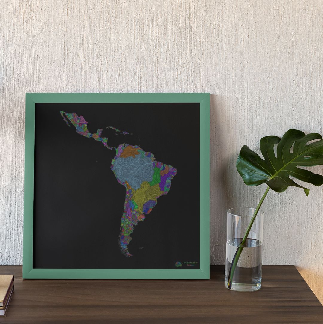
After months of hard work using many different maps, Szucs successfully sorted the world’s rivers based on their ocean drainage basins. Finally, he unveiled a series of new maps where the thousands of Earth’s rivers were color-coded based on their respective destinations. The categories include the Pacific, the Atlantic, the Arctic, and the Indian Ocean, as well as the landlocked ones that will never reach the sea.
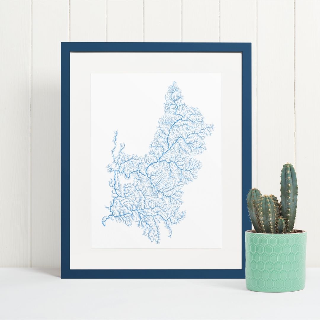
Determining a river’s course is a complex task that is influenced not only by topography but also by climate and human interventions. Szucs, operating Grasshopper Geography, a small family business, utilized open-source satellite imagery and 3D elevation modeling for his work. He analyzed river flows to create a global master map and 45 regional maps of specific countries.
Open-Source Data Was Used
Nicholas Pinter, a geomorphologist at the University of California, Davis, praised Szucs’ work as a rigorous piece of art. Thanks to Szucs’ work, the interconnectedness of the world’s rivers becomes evident in his maps. He has managed to show how rivers from different continents ultimately feed into the same ocean expanse. It poetically exposes that the ocean boundaries are more of a human construct than natural.
Szucs hopes his maps will raise awareness of environmental issues stemming from the connectivity of Earth’s rivers. He knows that pollution in one area can impact distant communities, and the hydrologic patterns revealed in his maps show that. Another interesting fact from his studies is that Asia is the only continent with rivers flowing into all four oceans.
Some Locations Are Missing
There are exceptions in Szucs’ maps. They don’t include Antarctica and Greenland because they lack detailed elevation data, and permanent rivers are absent due to year-round freezing. Still, in the future, these frozen landscapes might transform as they have before, and someone will have to make river maps for them as well.
The maps also highlight the impact of human activity on river courses, showing heavily managed rivers like the Colorado, Yellow, and Indus. Szucs’ artistic representation, though a snapshot, provides a good look into the diverse stories of rivers worldwide, shedding light on their natural courses shaped by topography and the influence of human actions.